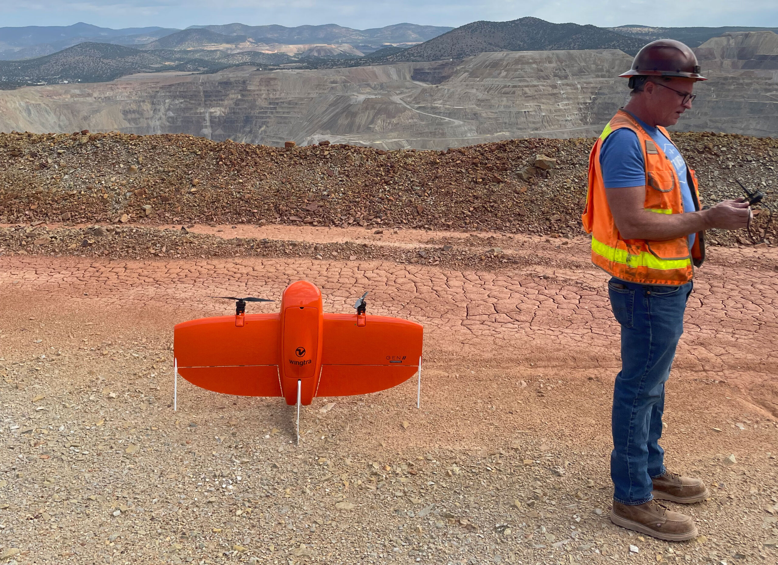
When Michael R Maier, Trimble Certified Instructor & Engineer, performed client training with the new WingtraOne GEN II, he didn’t expect to complete a topography survey with such minimal ground controls. Discover more about the latest WingtraOne’s GEN II demonstration and learn how SITECH Southwest can help you take flight.
Ground control are 2-foot-by-2-foot plates that are set on the ground of the survey area. Using the ground controls as coordinates, that drone captures overlapping images that are converted to pixels. These pixels are used to align the survey to a map of the area. Typically, a 30-minute flight requires five control points.

The primary focus of the demonstration was to teach the client how to fly their new fixed wing drone. Michael uses the real projects to conduct training. For this training, a plant survey for reclamation purposes was performed where the drone counts the number of plants in the area. A typical drone plant survey does not require many ground controls.
During this demonstration, Michael and the client were able to fly over a large area with minimal ground control and achieve highly accurate results. The new WintraOne GEN II is a fixed wing drone. Compared to small multi-rotor drones, which can cover approximately 75 acres per flight, the WingtraOne can efficiently cover 800 acres per flight.
This fixed wing drone has a 4-foot wingspan with the ability to do a continuous flight and can also achieve a vertical takeoff and landing (VTAL). Since multi-rotor drones can only take off and land in confined space, it cannot cover as much ground as a fixed wing drone. The WingtraOne’s increased flight time allows it to cover several square miles in a single day.
The battery powered drone can fly for 60 minutes per battery at around 60kph, making it ideal for creating contiguous models for larger sites such as mine sites, tailing dams or construction sites.
Take Flight with SITECH Southwest and Wingtra
SITECH Southwest is your local flight and drone expert providing quality technology, software, and Wingtra products in Arizona, Nevada, and parts of Eastern and Southeastern California.
We look to exceed expectations and provide the best for our clients. If you like to how our drone mapping program can change your business, contact us today and learn more about all our drone offerings and demo opportunities.
