How to connect Bluetooth receivers is one of the most frequent support calls SITECH Southwest receives. The Bluetooth functionality in both Siteworks and SCS900 is managed by the Windows 10 operating system.

How to connect Bluetooth receivers is one of the most frequent support calls SITECH Southwest receives. The Bluetooth functionality in both Siteworks and SCS900 is managed by the Windows 10 operating system.

In this article we will take at look LiDAR for everyday use by testing a DJI L1 lens at a controlled testing site.

Simplifying your map maintenance process can relieve a lot of double work improving time, and frustration, and more importantly communication from the field to the office.

With the variables and nuances of constructing a corridor, collecting data in the most proficient and comprehensive way is crucial. In this article we go over components and stake features that are both required when using an SPS controller and helpful in executing your data.

As drone use has evolved, unmanned aircraft systems (or UAS) have become a sought-after tool for business and commercial applications.

In April 2019, Trimble introduced Tilt Compensation for the SPS986 receiver and Siteworks Controller software. Tilt Compensation is one of the biggest advancements in GNSS Site positioning. It improves accuracy and productivity in the construction workplace.

Flying drones for survey and mapping is becoming standard practice for engineers. What happens when your organization is suddenly dependent on the data your drone generates?

I conduct a lot of survey training for construction and mining clients. In every class I usually start off with a “Coordinate Systems 101” lesson. This is something most clients struggle with. I find that there are a lot of people running GPS survey and machine control systems that may not have a basic understanding for how the coordinate systems relate to their jobsites. There are also experienced surveyors that tend to make these topics overly complex for most people trying to understand the basics. Here are some basic coordinate system rules for clarity.

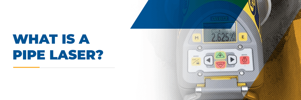
The construction of underground pipes and tunnels requires careful planning and excavation. Pipes have to maintain a consistent grade along the length of the system. Crests and valleys in the pipe system can block or slow down the liquid flow inside, resulting in clogs that can be expensive to fix. To accurately set the grade of a pipe run, underground contractors use a piece of equipment called a pipe laser.
A pipe laser is a type of construction laser that is used to measure and determine the correct grade for pipes. Pipe lasers are used as a sort of electronic level. Essentially, this equipment shoots a high-powered beam of light at a predetermined angle to establish the appropriate grade of a construction project. In this guide, you can learn more about what a pipe laser is used for, how to use it and the types of pipe lasers available.
Read more

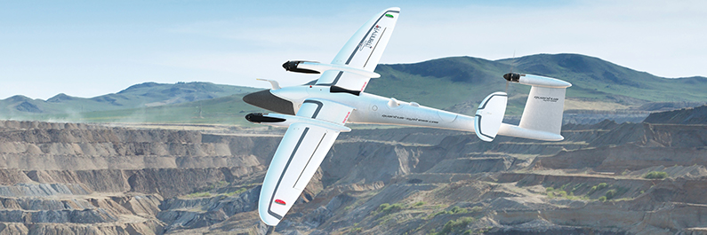
Often the most misunderstood but probably the most powerful use for flying drones is survey and mapping. Additionally, if you were to pick the perfect place to use UAV technology it would be a mine as drones allow you to cover larger areas of earth that are constantly changing.